With Google Maps at our disposal, venturing out to explore new places has become an easier thing to do.
Yet, did you know that there are places on Earth that are not visible even on Google Maps, as they are either blurred or pixelated due to some reason or the other.
If you are intrigued to know more, here are eight secret places on Earth that you can’t locate on Google Maps.
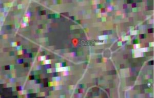
1. Cattenom Nuclear Power Plant – France
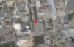
The Cattenom Nuclear Power Plant is the world’s ninth largest nuclear power station, which is located in Grand Est, close to the city of Luxembourg. If you try to find it on Google Maps, the entire area of the facility has been pixelated on the maps.
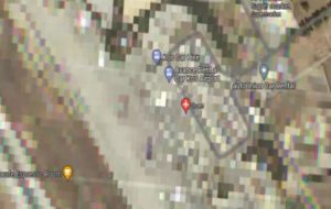
2. Kos International Airport – Greece
Located on the island of Kos in Greece, the Kos International Airport appears blurred on Google Maps. Reportedly, the airport serves charter airlines that bring visitors to the island, which remains most active during the summer months.
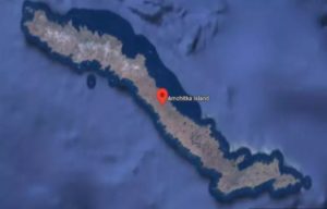
3. Amchitka Island – Alaska
If you search for this island, you’ll see that more than half of the island is blurred. As per the records, Amchitka was selected by the US Atomic Energy Commission during the late 1950s, to be the site for underground nuclear tests.
Reportedly, three underground nuclear tests had been conducted on this island. Today, this island is being monitored for any leakage of radioactive materials; it is slated that the island will become a restricted-access wildlife preserve in 2025.
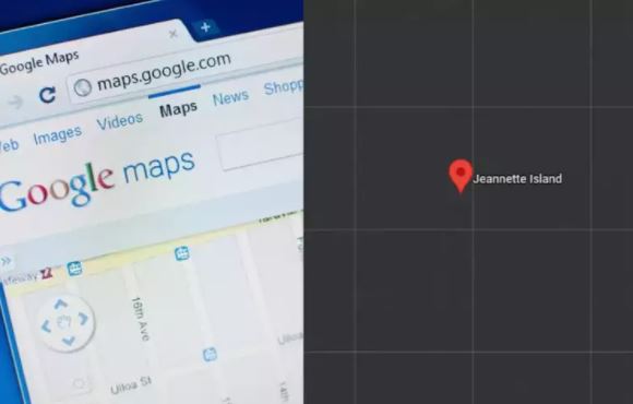
4. Jeannette Island – Russia
If you type Jeannette Island Russia and attempt a search of Google Maps, you will not find anything. Located in the East Siberian Sea, although one can’t see it, is believed to be a Russian military base that someone doesn’t want to show to the world.
5. Marcoule Nuclear Site – France
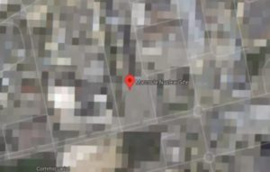
If you want to see France’s Marcoule Nuclear Site on Google Maps, you won’t be able to as the entire site appears pixelated on the maps. Reports have it that it has been done at the request of the French Government, since it is one of the top nuclear research facilities of France.
6. Minami Torishima Airport – Japan
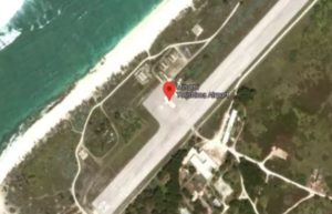
Although this spot is not blurred on Google Maps Japan, you will notice that this one-runway airport on the island of Minami Torishima has been over-saturated with white. The probable reason cited for this is that the island is used by the Japan Maritime Self-Defense Force.
7. Moruroa Island – French Polynesia
Go to Google Maps and check out this island. While you will be able to see half of this island is clear, the other half looks blurred. As per the reports, the French conducted nuclear tests on Mururoa between 1966 and 1996. Also, this island is off-limits to visitors.
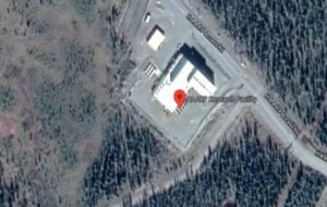
8. High-Frequency Active Auroral Research Program – Gakona, Alaska
It was funded by the Defense Advanced Research Projects Agency (DARPA) and the US Air Force, Navy. If you search it on Google Maps, you will be able to see its building but the image is over-saturated with white.